
Sensitive facilities
Vulnerability & census
Schools, healthcare, sport sites and fountains inside hot / high-HVI neighbourhoods (RQ-B). Use this to see who lives in hotter areas and where social sensitivity is highest.
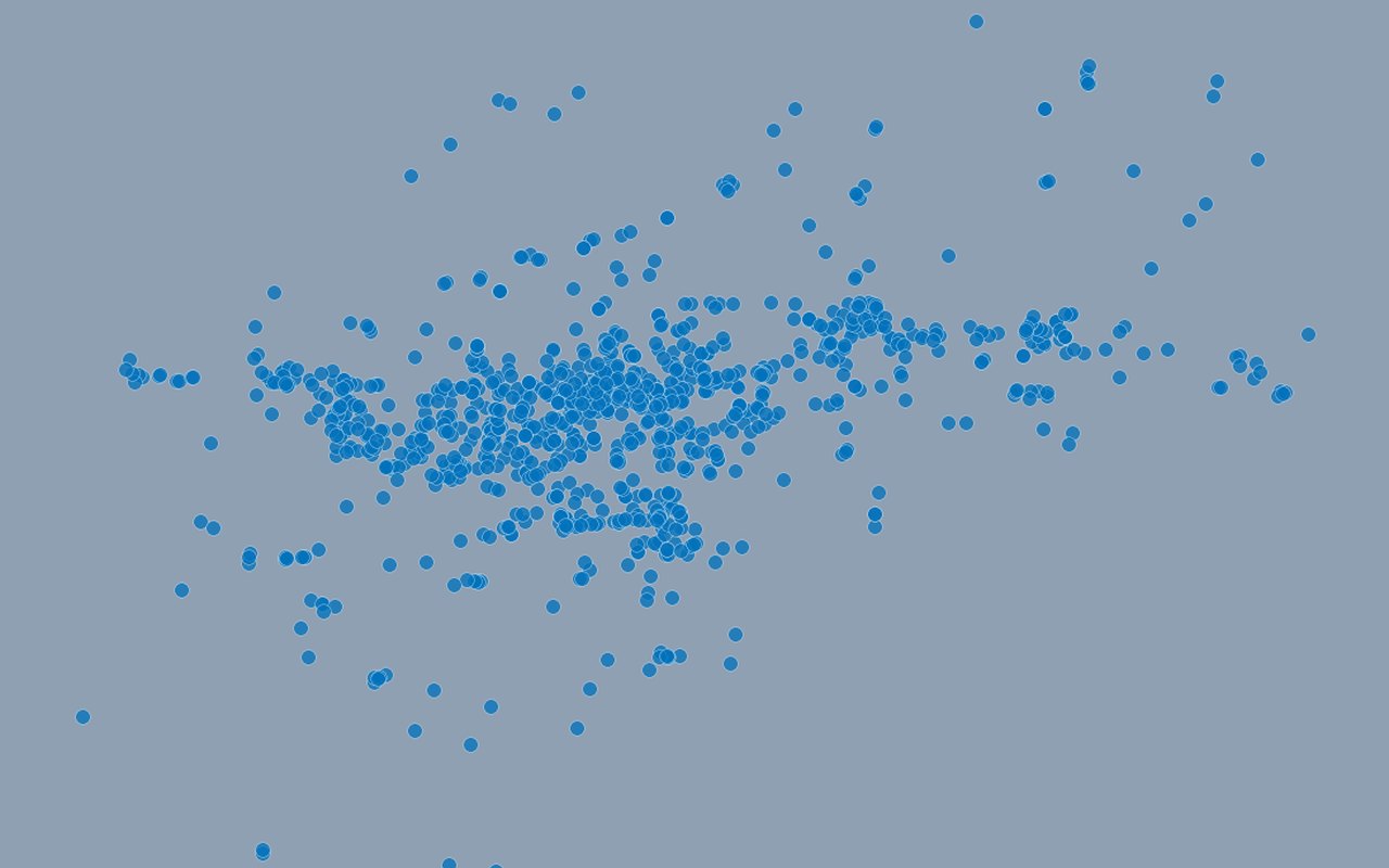
What it shows
Point locations of sensitive facilities, often filtered or highlighted in the 32 hot+dense neighbourhoods. Schools, kindergartens, healthcare and sport sites.
Data sources
City of Zagreb GeoHub / ArcGIS amenity layers assigned to nearest neighbourhoods.
How it was prepared
Census and related demographic tables are joined to official neighbourhood polygons so heat and people can be read together on one map.