
NDBI (Built-up)
Satellite rasters
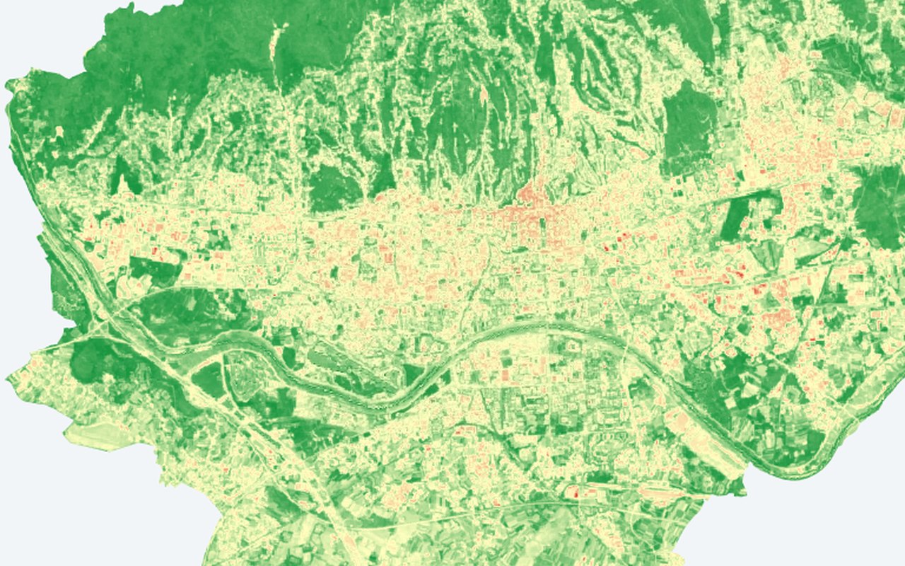
Satellite-derived built-up / impervious context for interpreting heat patterns. Use this as a citywide satellite backdrop — helpful for seeing fine-grained patterns behind neighbourhood averages.
What it shows
(SWIR − NIR) / (SWIR + NIR); higher = more built / impervious surface. Landsat built-up intensity built-up index tiles.
Data sources
Same Landsat Collection 2 SR stack as vegetation greenness (Google Earth Engine).
How it was prepared
Satellite scenes are filtered for cloud and quality issues, converted to the mapped indicator, and published as map tiles clipped to Zagreb.