
Land surface temperature
Baseline (citywide heat)
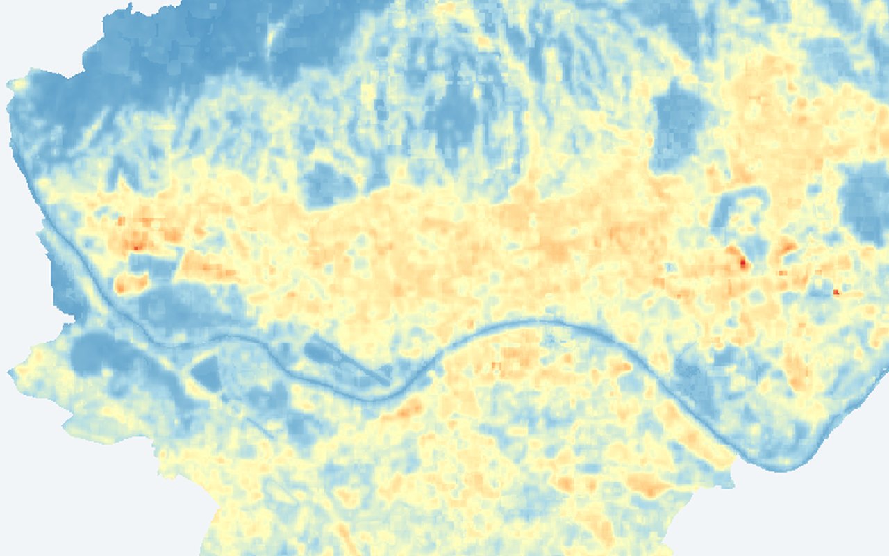
Shows where Zagreb’s surfaces store and radiate heat on summer days. Use it as the baseline heat picture before comparing neighbourhoods, night temperatures, or greening options.
This is surface temperature, not the air temperature measured by weather stations or felt by pedestrians.
What it shows
A citywide map of summer land surface temperature — how hot roofs, streets, parks, and other surfaces appear from space. Warmer colours mark hotter surfaces; cooler colours mark greener or more open areas.
Data sources
Landsat 8/9 thermal satellite imagery for Zagreb summers, published as continuous map tiles.
How it was prepared
Cloud-screened Landsat scenes are converted to land surface temperature and mosaicked into a Zagreb-wide summer composite served as XYZ map tiles for interactive browsing.