
Land Cover
Satellite rasters
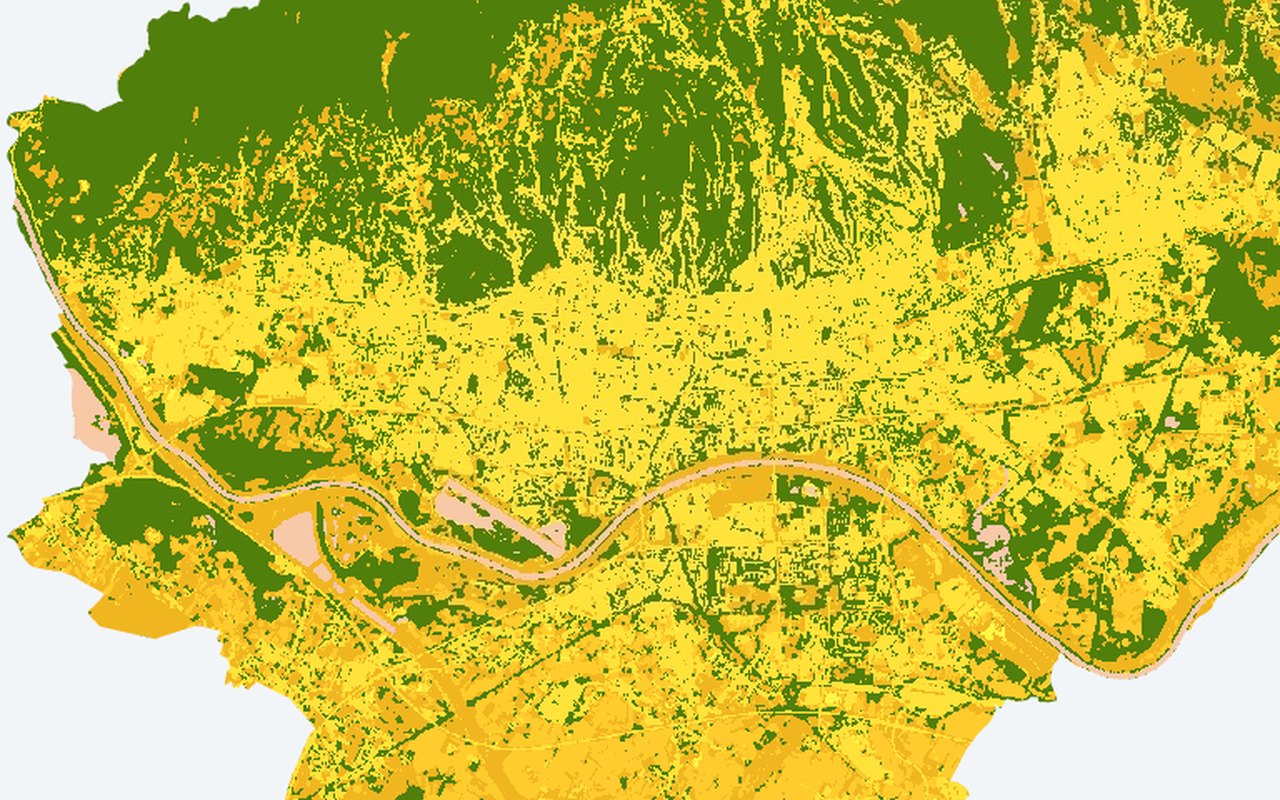
Satellite-derived discrete land-cover classification for context. Use this as a citywide satellite backdrop — helpful for seeing fine-grained patterns behind neighbourhood averages.
What it shows
ESA WorldCover 10 m classes (built-up, trees, cropland, water, …). Land-cover classification tiles.
Data sources
ESA WorldCover v100 2020 or v200 2021 raster on Google Earth Engine (config worldcover_year), clipped to the ROI.
How it was prepared
Satellite scenes are filtered for cloud and quality issues, converted to the mapped indicator, and published as map tiles clipped to Zagreb.