
Heat-risk dominant driver (climate vs demography)
Vulnerability & census
Whether climate or demographic terms dominate local heat risk index spatial structure. Use this to see who lives in hotter areas and where social sensitivity is highest.
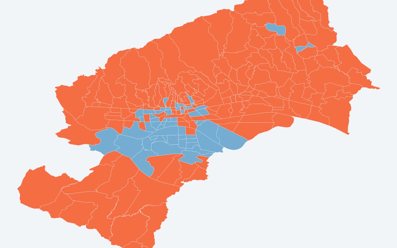
What it shows
Climate-driven vs demography-driven classification from |β×component| magnitudes (climate uses land surface temperature + air temperature).
Data sources
local regression local coefficients; demographic inputs fixed at Census 2021.
How it was prepared
Map adaptation of the cited study — same neighbourhood unit and index structure, not the full 2001–2024 longitudinal analysis. Only Census 2021 is available in this project (no 2001 census neighbourhood tables). Paper (Fig. 6): |β_DSI × ΔDSI| vs climate |β × ΔLST/air temperature| — mostly climate-driven (~90%). Here: cross-sectional level magnitudes, not 2001–2024 changes — class balance will differ; use as a screen only.
Citation
Bečić, D.; Gašparović, M. (2026). Disentangling Climate and Demographic Drivers of Urban Heat Risk: A Geographically Weighted Regression Analysis of Zagreb (2001–2024). Earth, 7, 72. DOI: 10.3390/earth7030072