
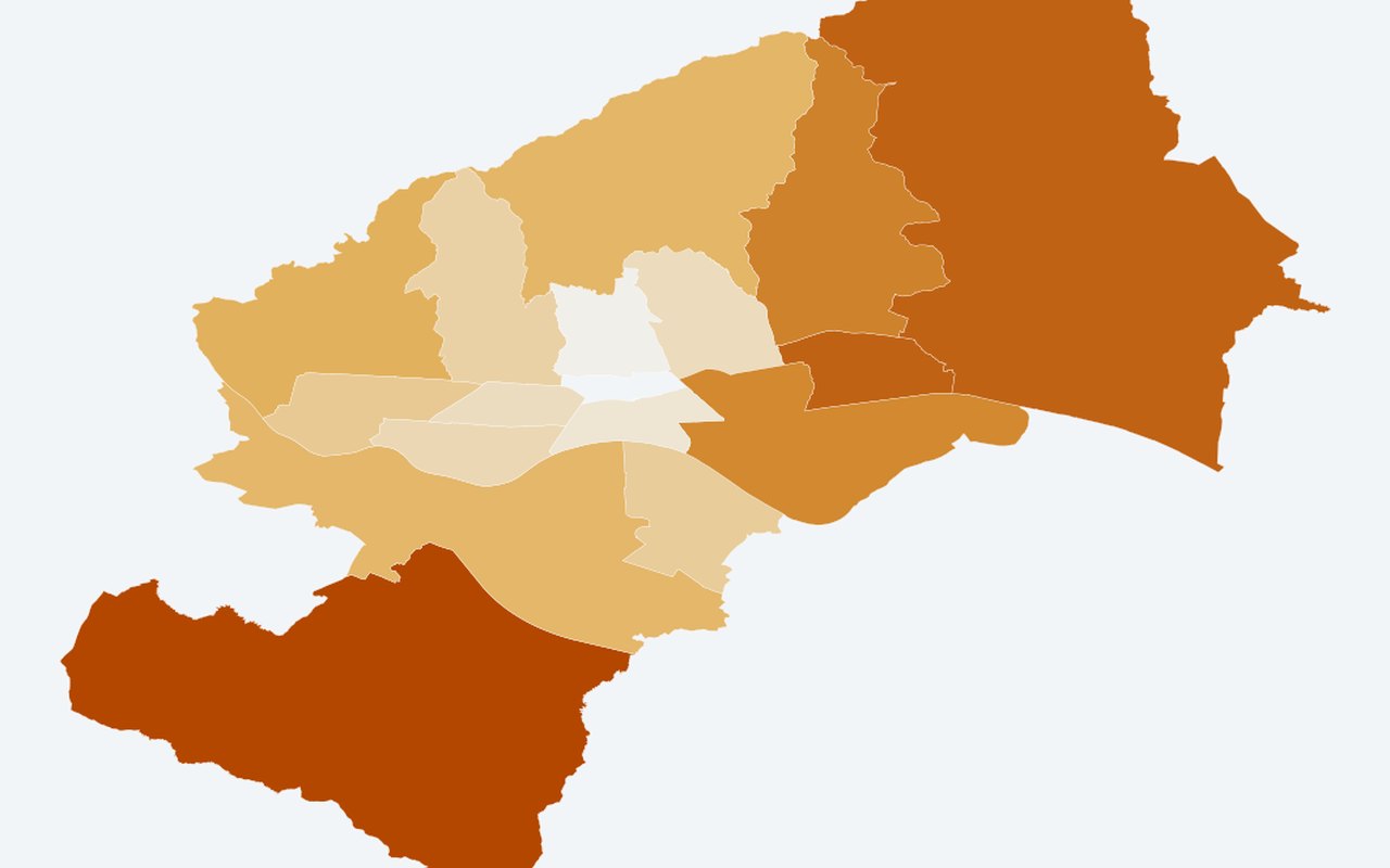
Education 2021: least educated districts (low formal schooling)
Vulnerability & census
Analytical view — where the highest shares without high school or tertiary education live. Use this to see who lives in hotter areas and where social sensitivity is highest.
What it shows
Darker orange = higher share_low_formal_education (no school + primary grades 1–7 + completed primary only). Share with primary schooling only (proxy for lower formal education).
Data sources
Derived from Tabela 2 counts; mutually exclusive highest-attainment categories.
How it was prepared
Census and related demographic tables are joined to official neighbourhood polygons so heat and people can be read together on one map.