
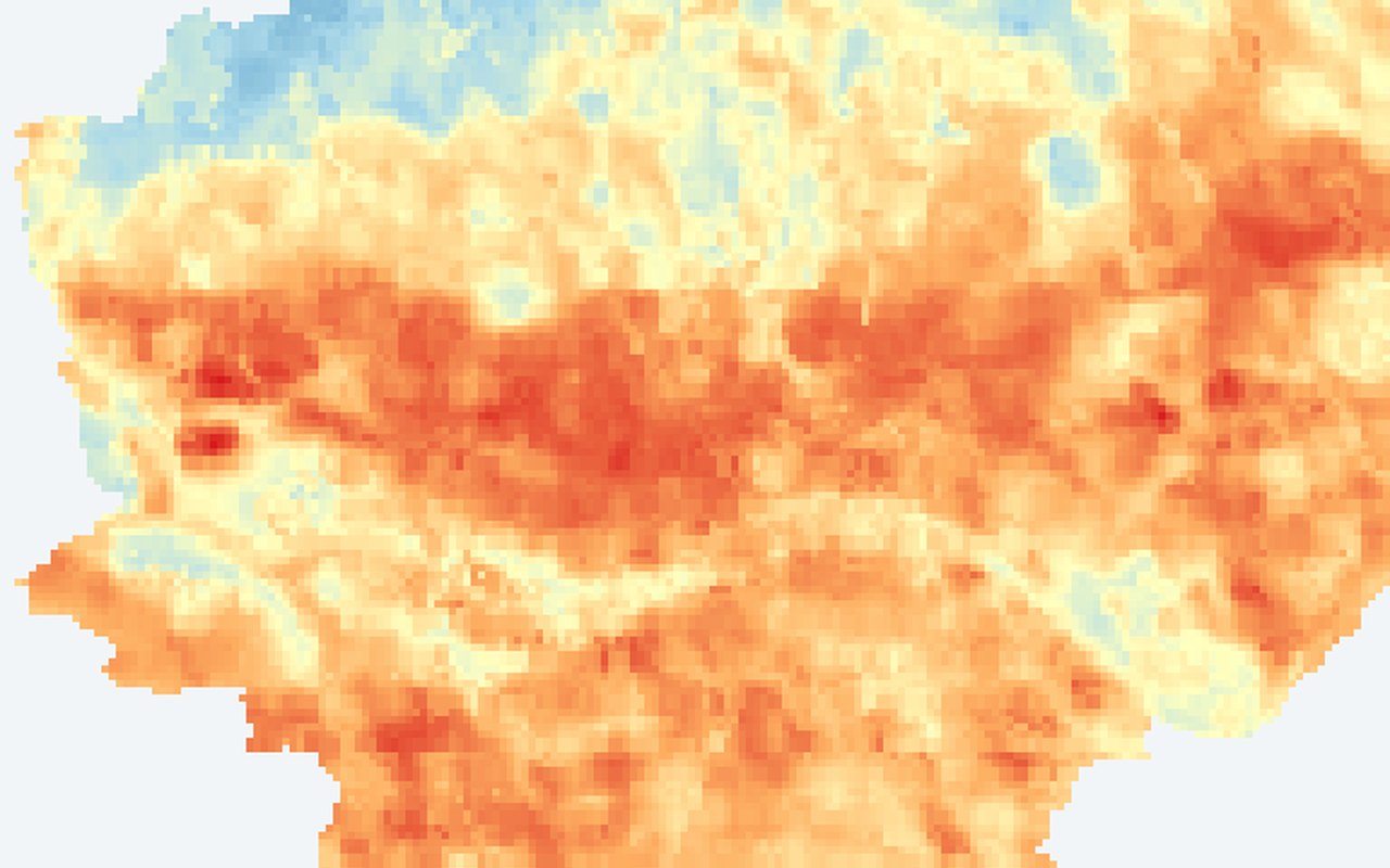
ECOSTRESS LST composite (~70 m)
Baseline (citywide heat)
Adds a higher-resolution daytime heat backdrop for comparing dense blocks, industrial areas, and cooler parks.
This is surface temperature from satellite, not the air temperature measured by weather stations or felt by pedestrians.
What it shows
Daytime land surface temperature from NASA ECOSTRESS at roughly 70 m detail — finer than classic Landsat thermal, useful for spotting hot corridors inside the city.
Data sources
NASA ECOSTRESS land surface temperature granules composited over Zagreb daytime scenes.
How it was prepared
Individual ECOSTRESS scenes are quality-filtered, converted to °C, and combined into a stable daytime composite for the Zagreb map.
Interpretation limits
Coverage and timing follow satellite overpasses; some neighbourhoods may reflect different acquisition days.