
Public Spaces for Dogs
City amenities
Neighbourhood amenity layer for public-space planning. Use this to relate heat patterns to everyday places people visit or depend on.
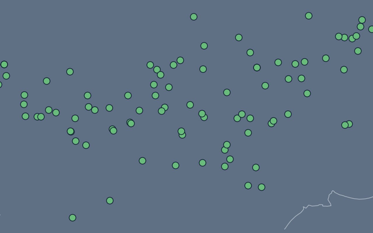
What it shows
Designated public dog-space locations. Dog parks / public dog spaces.
Data sources
City of Zagreb ArcGIS FeatureServer Geoportal_javne_povrsine_za_pse (layer 0).
How it was prepared
Facility locations from city open data are shown as points so planners can see services inside hotter or more vulnerable neighbourhoods.