
District Boundaries (Zagreb ArcGIS)
Reference
Official administrative reference layer (outline only). Use this as an orientation layer for city and district boundaries.
What it shows
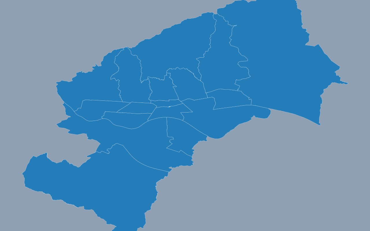
Zagreb's 17 city districts (gradske četvrti). Zagreb city district (gradska četvrt) boundaries.
Data sources
City of Zagreb ArcGIS FeatureServer “Gradske_cetvrti” (queried as map features; pipeline saves a copy under when online).
How it was prepared
Values are calculated for Zagreb using satellite, weather, census, and/or city open data, then drawn on the map units shown in the dashboard.