
CORINE Land Cover (100 m)
Satellite rasters
Detailed 44-class European land use — much richer than WorldCover for urban planning. Use this as a citywide satellite backdrop — helpful for seeing fine-grained patterns behind neighbourhood averages.
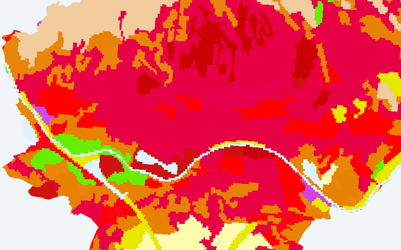
What it shows
CORINE Level-3 land cover classification (100 m). Distinguishes continuous urban fabric (111) from discontinuous (112), industrial (121), road/rail (122), ports (123), airports (124), construction (133), green urban areas (141), sport/leisure (142), arable (211), vineyards (221), forests (311–313), wetlands, water bodies, and more. Ideal for correlating land-use CLASS (not just cover) with UHI intensity — e.g. 'industrial zones are 3 °C hotter than discontinuous residential'.
Data sources
Copernicus CORINE Land Cover V20 (COPERNICUS/CORINE/V20/100m), nearest available epoch (1990/2000/2006/2012/2018). Europe only.
How it was prepared
Satellite scenes are filtered for cloud and quality issues, converted to the mapped indicator, and published as map tiles clipped to Zagreb.