
Composite UHI Index (MDPI 2025)
Findings
Supports ranking of built fabric for heat mitigation, following the approach of Bečić & Gašparović (Land 2025).
This is surface temperature from satellite, not the air temperature measured by weather stations or felt by pedestrians.
What it shows
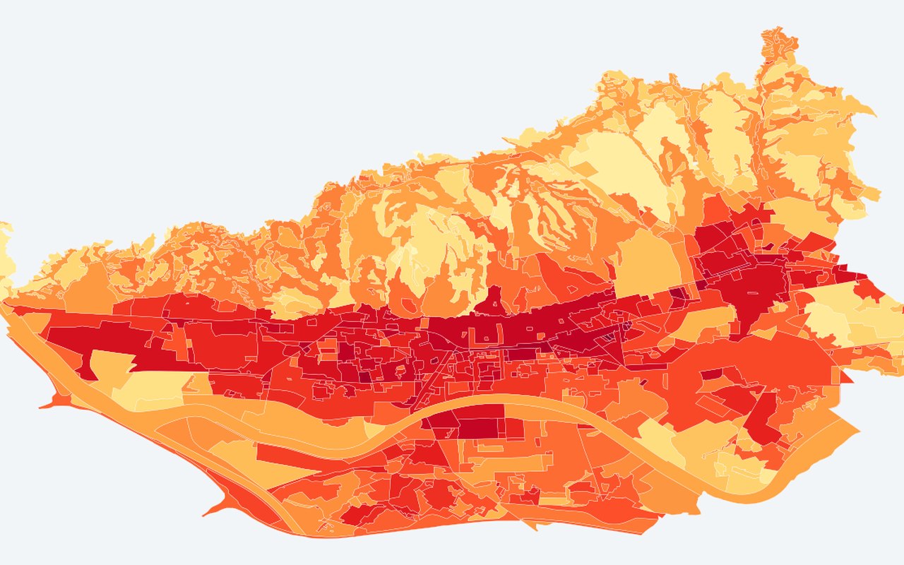
A published-style composite urban heat index that combines surface temperature with vegetation greenness on Zagreb planning polygons. Higher values mean a stronger heat-island signature in index space.
Data sources
Landsat summer land surface temperature and vegetation greenness summarised on City of Zagreb urban-rule (GUP) polygons.
How it was prepared
Temperature and greenness are normalised and combined so hotter, less vegetated polygons rise to the top of the index.
Interpretation limits
Analytical composite index derived from satellite inputs — not a direct land-surface temperature reading.
Citation
Bečić, D.; Gašparović, M. (2025). Urban Heat Islands and Land-Use Patterns in Zagreb: A Composite Analysis Using Remote Sensing and Spatial Statistics. Land, 14(7), 1470. DOI: 10.3390/land14071470