
Public Bike Parking
City amenities
Cycling-support infrastructure. Use this to relate heat patterns to everyday places people visit or depend on.
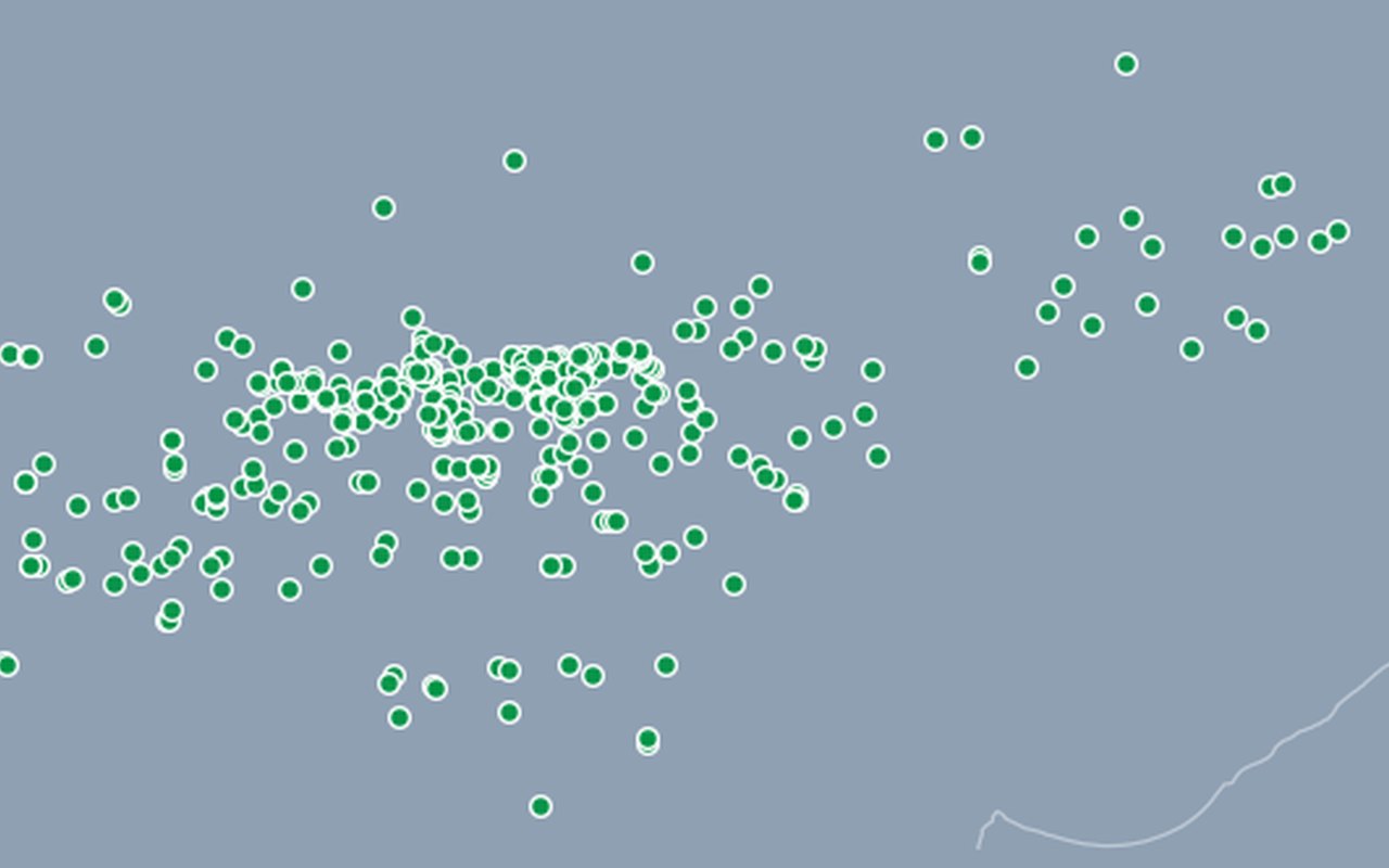
What it shows
Public bike-parking stand locations with capacity attributes where available. Public bicycle parking stands.
Data sources
City of Zagreb ArcGIS FeatureServer Javna_parkirališta_za_bicikle (layer 2).
How it was prepared
Facility locations from city open data are shown as points so planners can see services inside hotter or more vulnerable neighbourhoods.